Another spring storm bears down on Adelaide
Adelaide is bracing for another thunderstorm today as emergency services prepare for heavy rains through to the weekend.

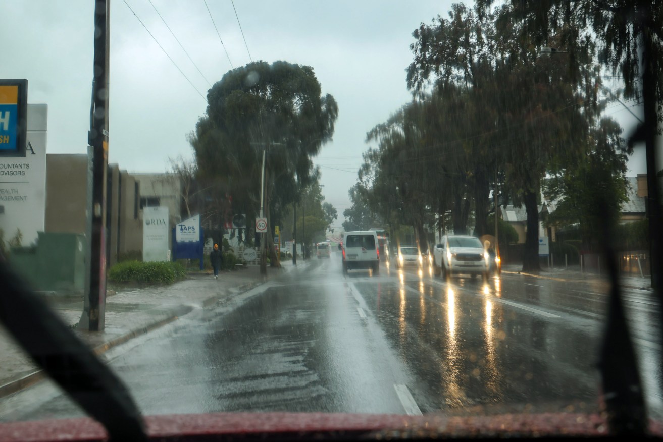
Photo: Tony Lewis/InDaily
The Bureau of Meteorology is forecasting Adelaide will be drenched with between eight and 15mm of rain on Wednesday.
Winds between 25 and 40 km/h are also forecast along with the possible chance of a late morning thunderstorm.
A strong wind warning is in place for the Adelaide metropolitan waters over the next two days.
Up to 33mm of rainfall is forecast to hit the city from Thursday to Saturday, with the wet weather not projected to ease off until Sunday.
BoM meteorologist Tom Boeck said the band of wet weather and isolated thunderstorms was moving over the Yorke Peninsula and would reach Adelaide by “mid to late morning”.
“You’ll start to see some shower activity coming in as that band moves across from the west, so the weather will be changing,” he told ABC Radio shortly before 7am.
“There’s a possibility of a thunderstorm once that band gets here as well.”
The weather will dry up this afternoon before another low pressure system moves through Adelaide on Thursday.
The city has a forecast maximum of 20 degrees today.
The State Emergency Service has issued a “community readiness” alert for South Australia, asking people across the state to be prepared for possibilities such as power outages and be aware of the potential for flooded roads.
“With the forecast of severe weather, including showers thunderstorms and gusty winds from Wednesday night until Saturday, the State Emergency Service recommends you take action now to make sure that you and your family stay safe,” the SES said in a statement.
“Cumulative rainfall across this period may result in some waterways experiencing increased flows, leading to some roads being impacted.
“Large waves and rough seas may also impact exposed coastal areas from Thursday to Saturday.”
The SES also said residents in Port Augusta should take extra caution given they are still recovering from a fierce hailstorm which hit the city last week.
A Code Blue alert for South Australia’s homelessness services has been declared for Wednesday through to Sunday, offering extra overnight services for rough sleepers.
It comes as the BoM declared on Tuesday that Australia is facing a rare third consecutive La Nina weather event.
The outlook for the rest of 2022 has been raised to an established La Nina, according to atmospheric and oceanic indicators that inform the BoM’s La Nina alert system, the El Nino-Southern Oscillation (ENSO).
The BOM observed cooling in the central tropical Pacific Ocean in recent months, along with trade wind strength and equatorial cloudiness – all typical La Nina indicators.
There have been months of reports of a likely third appearance of the weather pattern, which leads to heavier-than-usual rainfall, and cooler temperatures across the north and east coasts.
La Nina conditions were blamed for devastating flooding in southeast Queensland and the NSW Northern Rivers this year.
“Models indicate this La Nina event may peak during the spring and return to neutral conditions early in 2023,” the BOM said.
NSW SES commissioner Carlene York has urged people to prepare, saying a third La Nina presents unique challenges and risks.
“There is already wet soil, high rivers and full dams right across our state, and with more rain on the horizon comes the very real possibility of flooding,” she said.
The threat of another major flood event in 2022 comes after the SES notched its busiest 12 months on record in the previous financial year.
In Brisbane, the city council has announced free sandbags for residents, which will be available to be picked up on weekends for the next three weeks.
Lord Mayor Adrian Schrinner says the standard stockpile has already been tripled to 150,000 bags.
Monash University climate extremes centre expert Kimberley Reid echoed the calls to prepare.
“I would bet my bottom dollar that there will be more flooding in eastern Australia in the next six months,” Reid said.
She said oceanic weather patterns point to a wet spring, and already swollen rivers and dams will flood from any significant rainfall.
Three consecutive years of La Nina is an unusual event, though Reid says it is not unprecedented.
“Our understanding of how often this occurs is limited by the lack of historical observations over the ocean,” she said.
The BOM statement added that climate change is continuing to influence climates locally and around the world, with Australia’s temperatures warming by about 1.47 degrees for the 1910-2020 period.
The country’s south has experienced an overall 10-20 per cent reduction in cool-season rainfall in recent decades.
There has also been a trend towards high-intensity rainfall events that occur over a short period of time, especially in northern Australia.
-with AAP