Up to half a metre of rain tipped for sodden Top End
A tropical low off the coast of Darwin and monsoonal rains in far north Queensland are expected to bring up to 500mm of rain to already saturated regions this week.
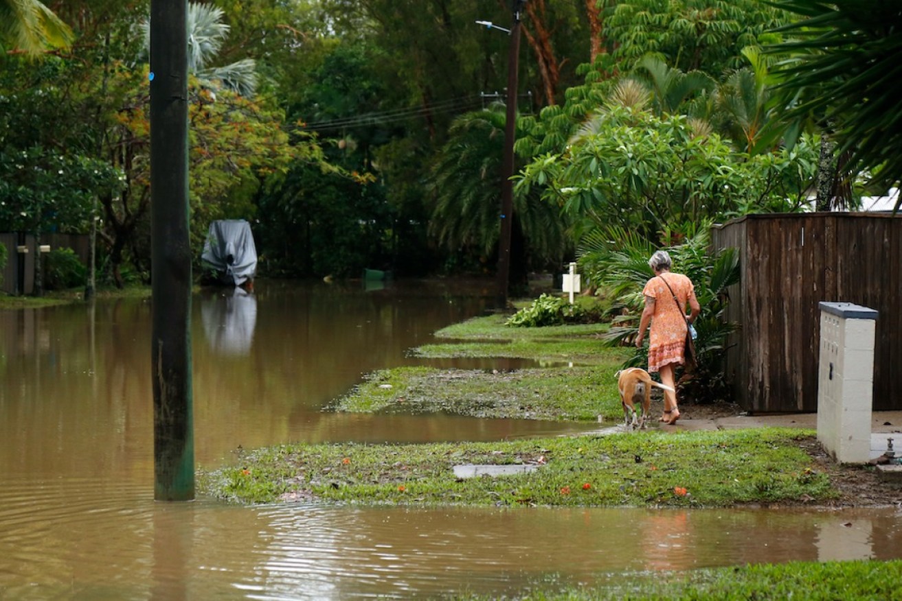
File photo: Joshua Prieto/AAP
A severe weather warning has been issued for the Top End in the Northern Territory, including Darwin and the Tiwi Islands, with damaging wind gusts and monsoon squalls also expected.
Bureau of Meteorology senior meteorologist Angus Hines said the combination of the low-pressure area and predicted thunderstorms could lead to damaging winds.
“We could see damaging wind gusts in excess of 90km/h through the course of Sunday and into Monday as it stays windy into the new week,” he said.
“Some areas might see as much as 500mm through this part of the country with much more widespread totals in the region of 200 to 300mm.
“As well as that there will be extensive rainfall of 100mm-plus through much of Northern Territory, a lot of north Queensland as well.”
A monsoon trough spanning from Western Australia across to the far north Queensland coast is expected to bring heavy rainfall to an already saturated region.
Residents in far north Queensland are still reeling from heavy rainfall and flash flooding in December caused by ex-tropical cyclone Jasper last.
The bureau forecast totals of 100 to 200mm of rain and frequent widespread thunderstorms through the week with the risk of flooding.
A severe weather warning North Tropical Coast, Tablelands, Herbert and Lower Burdekin Forecast Districts was cancelled early on Monday.
Flood watches are in place for parts of the NT’s western Top End and areas to the southwest, west and north of Cairns in Queensland.
“As we track the rainfall across these river catchments, they may well respond with flood responses through the course of the next couple of days,” Hines said.
– AAP