Winter rains see River Murray rise again
River Murray water gushing across the state border is again inundating parks along its banks, as towns still mopping up after recent record floods face new rules around rebuilding destroyed homes.

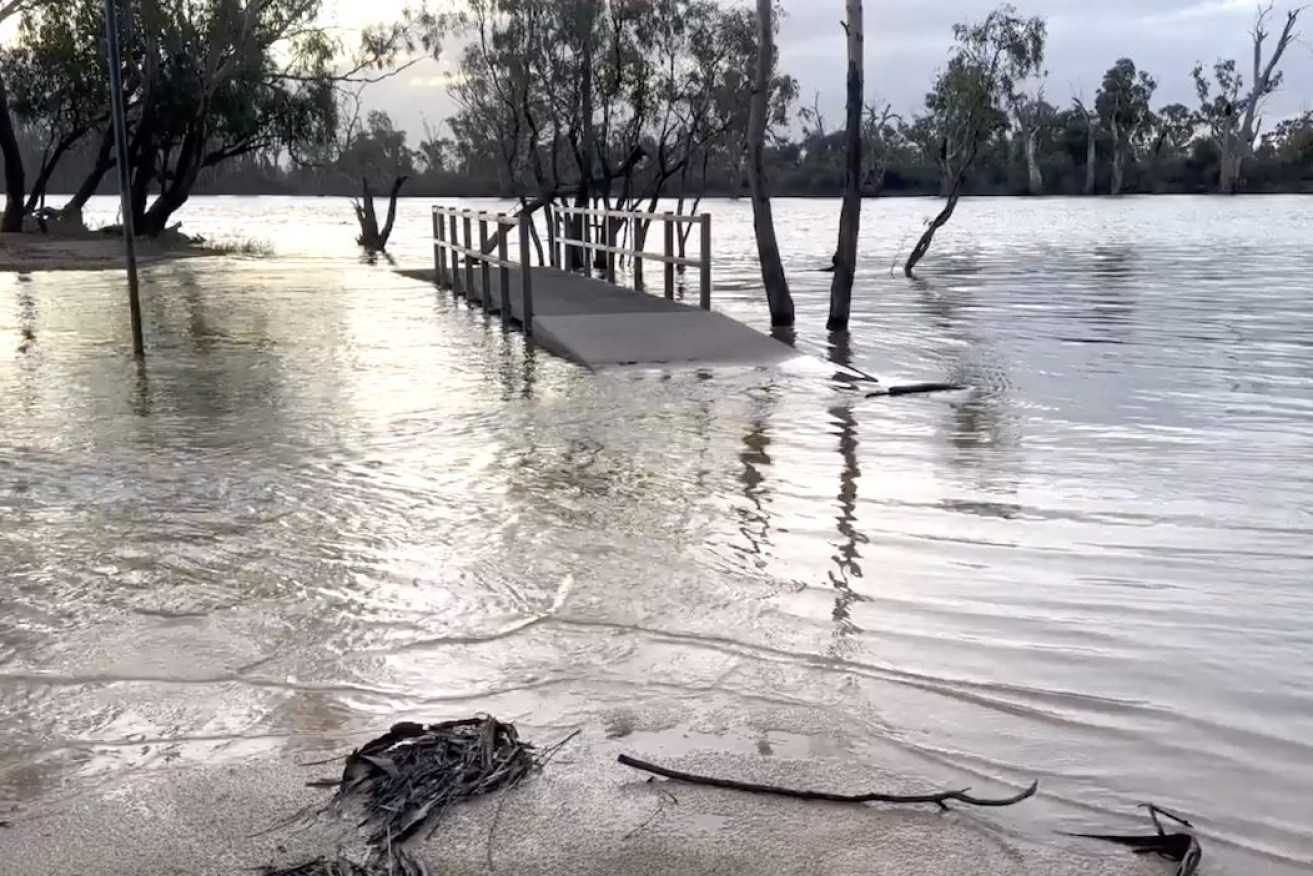
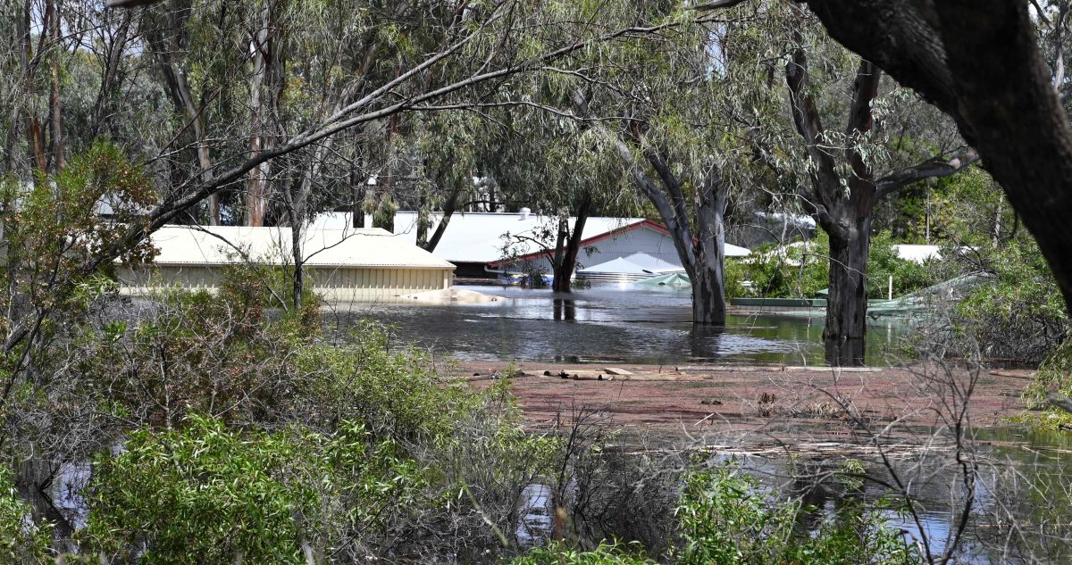
The River Murray rises at Snake Island in Loxton as water is released from upstream dams. Photo: River Murray Pix
Higher flows are impacting towns from Blanchetown to Loxton where River Murray water is flooding Snake Island picnic park, with Environment and Water Department water delivery manager Chrissie Bloss blaming dam releases and high rainfall upstream for faster flows.
Social media chatter across towns along the river raise concerns about further rises, one resident saying he was in “Paringa yesterday and it’s belting through there and is up quite high”.
Bloss said flows across the border are at about 37 gigalitres a day “and could pop over 40”, but this was way down on the record levels of 175 gigalitres a day during the peak of flooding in December.
Water releases from the almost full Hume and Dartmouth dams along with high rainfall over the upper Murray catchment and Victorian tributaries are being closely monitored, but Bloss said it was not unusual for levels to rise over winter months.
She said the higher levels had led to enquiries from some still cleaning up after the largest River Murray flood since 1956 inundated about 4000 houses, businesses, sheds and shacks, asking if they should halt work with the rising water.
But Bloss said the flows would mainly stay within the river channel with “some minor inundation” in parks, recreation areas and low-lying flood plains.
“I think part of that is nervousness and it’s actually based on the fact that flooding events on the Murray do tend to happen in sequential years,” Bloss said.
“Of course, we will continue to monitor it closely (but we) don’t have a high level of concern.”
Last year’s flood came on the back of a three-year high rainfall weather pattern, and Bloss said forecasting now showed the Murray Darling Basin was now expected to experience drier years.
As home, shacks and business owners continue to clean up and rebuild after the floods, consultation is also underway until August 25 on interim changes to the planning and design code released by Planning Minister Nick Champion.
Stricter development rules include re-zoning heavily flood impacted shack settlements at Paisley near Blanchetown and Murbko further upstream from conservation zones to Rural Shack Settlement Zones in a bid to restrict development in those regions.
Water flooded Blanchetown caravan park near Paisley during recent flooding. Photo: Belinda Willis/InDaily
It also increases the allowable height of a dwelling’s living area flood level along the length of the river in South Australia to three metres from 2.5 metres, “or in more extreme cases up to four metres (where it is evident that extra height is required to be above the flood level)”.
A series of community engagement sessions along the river are underway, with other planning changes including maintaining more open areas around storage spots to enable free passage of flood waters.
South Australia is in its second year of unregulated flows, with the latest river report from the Environment and Water Department showed dredging was still suspended at the River Murray mouth “due to high flows scouring sand out of the mouth”.
SA Water spent most of May and June commissioning a new, large and more efficient dredge “sawfish” to replace two pre-existing dredges when required.
Other interim amendments to the Planning and Design Code include maximum overall building height increasing to eight metres, up from 7.5 metres, with a two-storey cap.
They also include updating design and materials that are used for the under flood sections of buildings that include installing roller doors or similar on all four sides of any enclosed area to ensure free flow of floodwaters.