The next five days will see rain from the Top End through to the eastern interior, with peak falls predicted on Wednesday, and falls continuing in large parts of NSW and southern Queensland across next weekend.
Showers will increase the risk of flooding for inland communities recently hit by inundation, including some where floodwaters have still not receded.
Showers and thunderstorms will extend from the Northern Territory to Adelaide and South Australia on Tuesday.
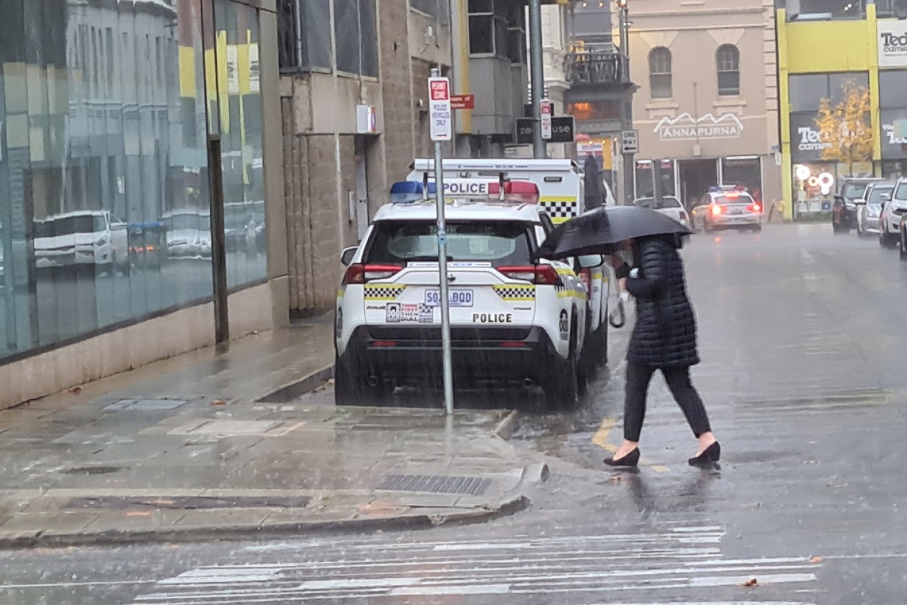
Adelaide has a forecast top of 20 degrees today with between 10 and 20mm of rainfall expected to drench the city.
The SA State Emergency Service on Monday issued a flood advice warning for potential flash flooding “due to isolated heavy rain falls” in the Flinders district over the next two days.
The district includes Port Augusta, which has been hit by two extreme rainfall events this year.
The SES said the rainfall could lead to “flash flooding within the creek systems causing flowing water across roads at short notice”.
“Even if it is not raining, there is still the potential for creeks to flood. Drive to the conditions and do not drive through flood water,” the SES said.
“Campers are advised not to camp in or near creek systems as water might rise rapidly and unexpectedly.”
The worst of the heavy falls is forecast for Wednesday, with showers from northeast Queensland extending west to inland NSW and northern Victoria along with gusty easterly winds on the southern coast.
Showers, storms and strong winds will increase on Wednesday evening and Thursday in northern Tasmania, while easing elsewhere.
By the weekend, a low pressure system will drag further showers onshore across the east coast, bringing more rain to much of NSW and southern Queensland.
By Friday, widespread falls of up to 50mm are likely in southern inland Queensland, much of NSW, northern Victoria and northern Tasmania.
Another low pressure system will form by the weekend leading to further rainfall across much of NSW and southern Queensland.
A number of communities in southern Queensland, inland NSW and northern Victoria are still dealing with flooding after heavy falls last month, and the BOM expects to issue further flood watches this week.
-with AAP


