Adelaide’s walking trails: Wine Shanty Track
The Wine Shanty Track to Mount Lofty Summit is a picturesque meandering walk to the peak and a much more enjoyable way to get there than the Waterfall Gully route.

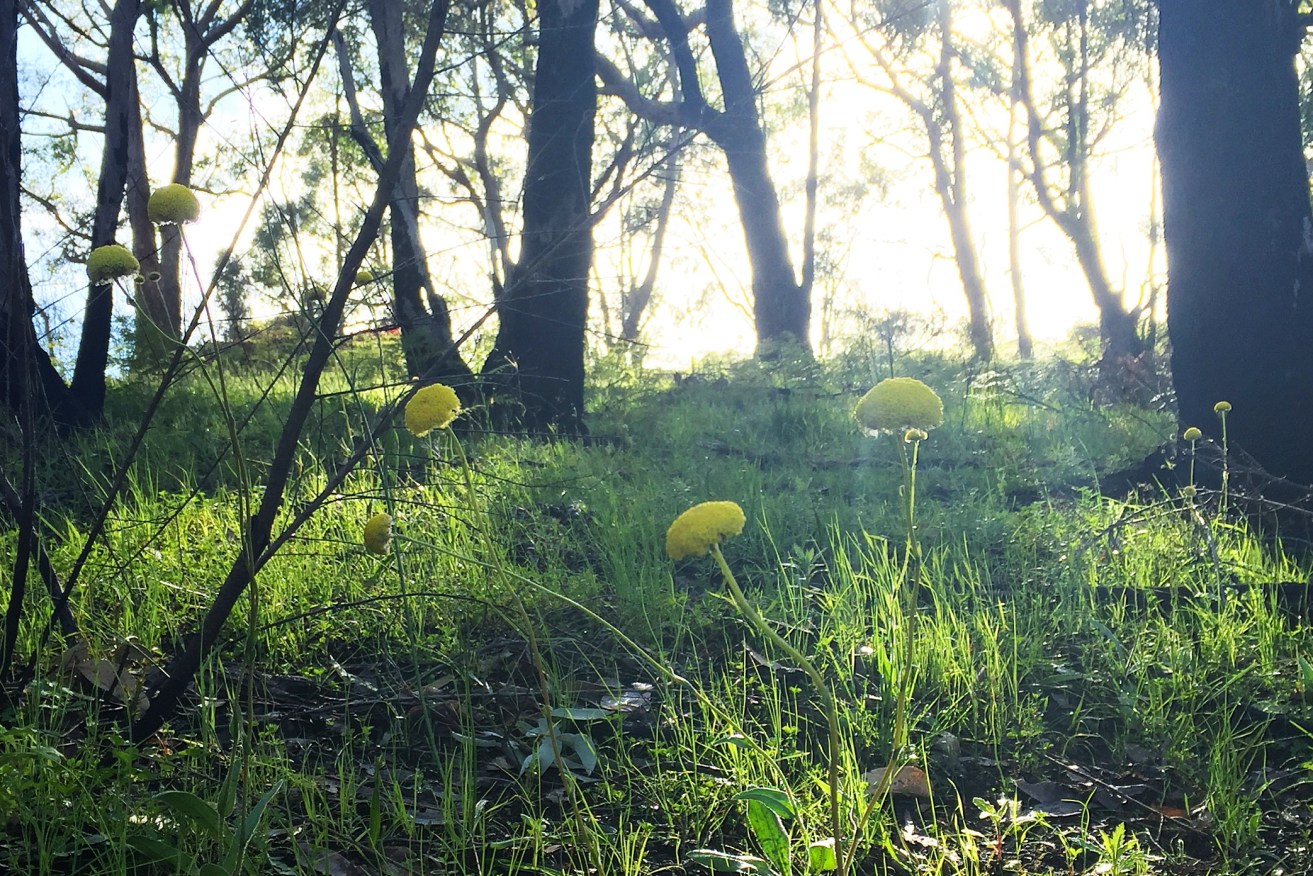
Wildflowers along the trail.
The track takes its name from a Greenhill Road cottage (known as the “wine shanty”) which in the late 1800s became a watering hole for “Tiersmen”, who lived in huts behind Mount Lofty and cut timber for fences, carts, fuel and other purposes. They were described by South Australia’s then Governor, George Gawler, as a “very low class of man, lawless vagrants, principally runaway sailors and escaped convicts from the other colonies”.
Making up part of the Yurrebilla Trail, the undulating trails of the Wine Shanty hike will take you through stringybark forests on a rewarding walk to the Mount Lofty Summit plaza.
Trail: Wine Shanty Track to Mt Lofty Summit
Access: 22km south-east of the Adelaide CBD. Travelling on Greenhill Road, look on your left for the Wine Shanty cottage and bus stop 18 – Gate 6 will be on the right and is the starting point. There is on-road parking near the entrance.
Rating: Moderate to challenging. Although this is a much slower ascent towards Mt Lofty Summit than the Waterfull Gully track, it is a much longer trail with steep sections.
Features: Starting our walk from Gate 6, we took a left along the fire track following alongside Yanagin Road.
The stringybark and bluegum forest makes it a cool walk through the gullies and offers ample overhead cover. Be on the lookout for beautiful wildflowers, kangaroos, koalas and orange butterflies fluttering along the trail.
The wide tracks incline gently through most of this beginning section, giving you plenty of time to take in the gully outlook, and also to see the summit from a point of view you may not have had before. The trail is well marked and colour-coded deep purple.
About 1.5km into the walk you will start to come across trail links on your left. Pillbox and Pimpala tracks lead out to Mount Lofty Summit Road, offering a different starting point.
Continue on the Wine Shanty Track, looking for Nilee Track at marker 73 on the left, which will take you the back way to Mount Lofty Summit. This is the correct path to take… but I was distracted by one of those butterflies mentioned earlier and missed the turn-off. This resulted in us being 1.5km out of our way and having to backtrack. So take beautiful nature photos, but remember to also pay attention to where you are going!
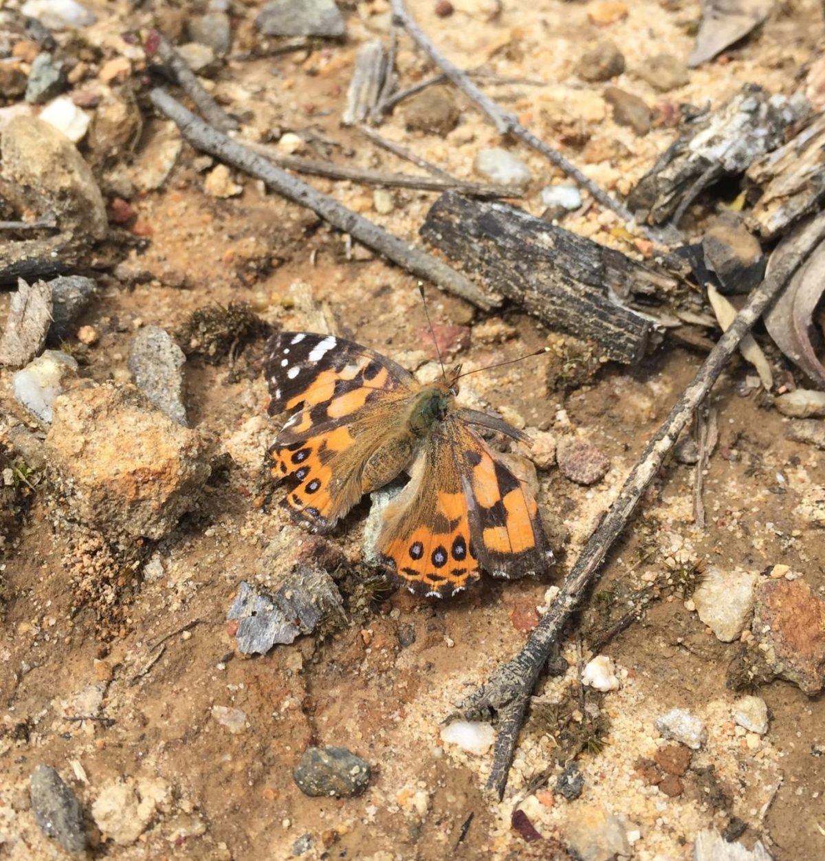
The offending butterfly. Photo: Jodie Vidakovic
Nilee Track is a steep, 200m incline to Mount Lofty Summit Road. Walk along the road for a short period before crossing and continuing along Warre Track. Through here we found it a little harder to navigate as the trail along the road was unsigned and not well-travelled. You should need to walk only about 250m before crossing the road and going through the park entrance. Be careful through here while on the road, keeping a lookout for cars.
Follow this track until you come across the Heysen Trail, taking a right and looping around to the summit carpark.
We found the last section a little unnecessary and it didn’t add to the experience. Reaching the summit through the carpark isn’t the nicest way to get there.
On the way back, we decided to head down Waterfall Gully Track, taking a right onto Lodge Track. This leads you back to Wine Shanty Track. Take a right at marker 76 to get back to your starting point.
Alternative: Instead of turning off at Nilee Track, continue until you meet Lodge Track and Waterfall Gully Trail to finish at Mount Lofty Summit. The Wine Shanty hike is actually a 10km loop, which doesn’t have to incorporate the summit.
Length: About 12km return.
Time: About three to four hours at a moderate pace.
Tip: Always familiarise yourself with a map before starting your hike. Download the Avenza PDF Map app so you can access interactive maps when you need them. The app allows you to download National Parks SA maps and uses your device’s built-in GPS to plot your real-time location within the park onto a map. You can also download your Cleland Conservation Park maps here, and keep up to date with latest park alerts.
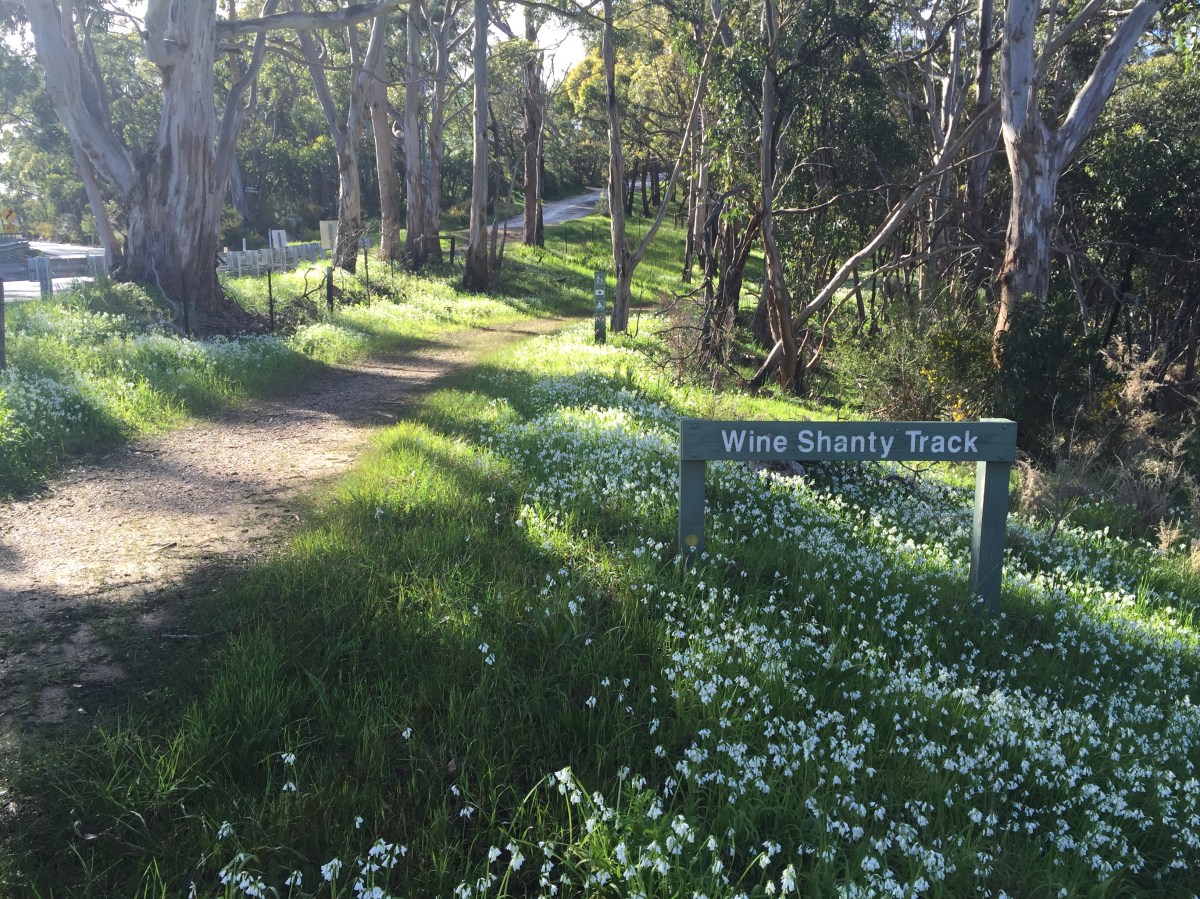
Beginning of Wine Shanty Track. Photo: Jodie Vidakovic
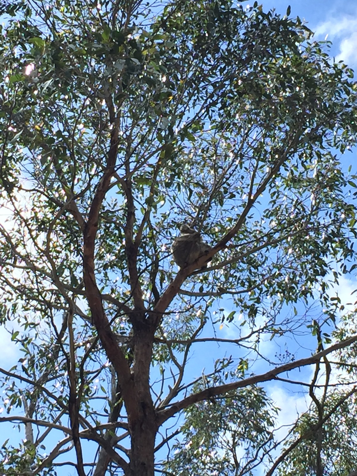
Koala spotting. Photo: Jodie Vidakovic
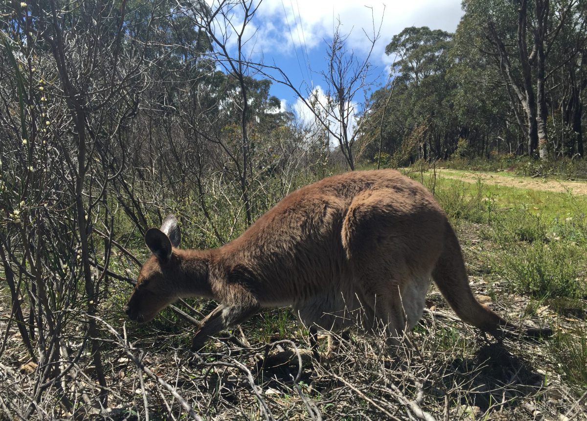
Meeting the locals. Photo: Jodie Vidakovic
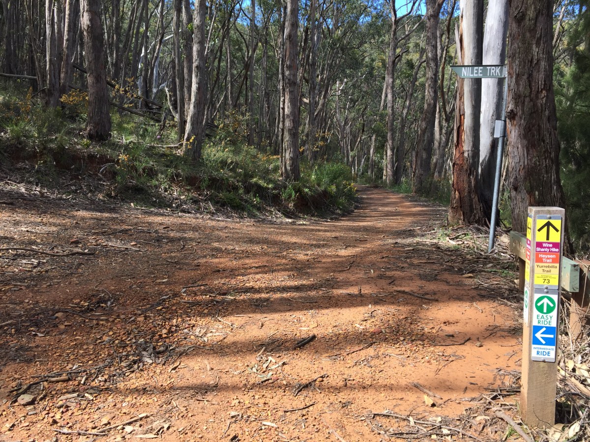
Watch out for Nilee Track turn-off. Photo: Jodie Vidakovic