Storm warning for Adelaide
A wintry blast is set to hit South Australia on Thursday afternoon, with the Bureau of Meteorology warning that wind gusts of more than 90km/h are possible and the Adelaide Hills could get up to 100mm of rain before the end of the week.
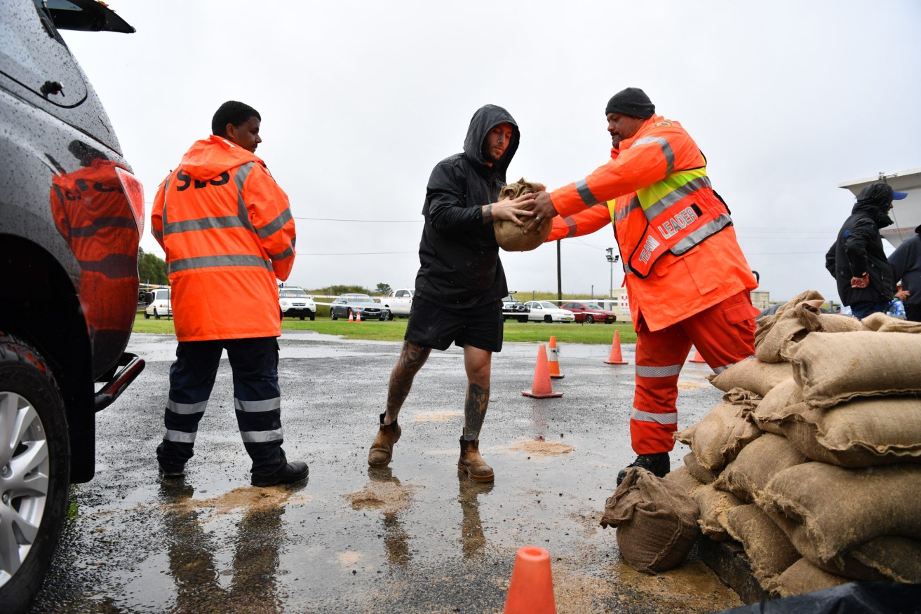
Photo: AAP Image/Dean Lewins
A series of low-pressure troughs are moving across the state ahead of a vigorous cold front, with the worst of the weather to hit the settled areas from Thursday afternoon before peaking on Friday and extending into Saturday, the BoM said on Wednesday.
Senior meteorologist Philip Perkins said a severe weather warning will be issued as damaging winds extend from the west to central, southern and eastern districts.
Heavy rain across the Mt Lofty Ranges could result in flooding and there is a potential for thunderstorms over parts of the state.
“Looking ahead to Friday when the peak of the hazardous weather will occur, we can expect winds to reach 40-60km/h over southern SA, with gusts stronger than 90km/h possible, particularly with showers and thunderstorms,” Perkins said.
“These winds can cause minor structural and vegetation damage.
“Windy conditions could whip up dust, particularly in driest areas of northern SA. We are urging motorists to drive to the conditions.”
The weather systems will also bring waves of six to nine metres to the western and southern coasts with boaties and beachgoers urged to check the conditions before heading out.
The wild weather has also prompted a “Code Blue” to be called across the state’s homeless service providers, with extra accommodation hours and overnight places available for the state’s rough sleepers in both Adelaide and the regional districts.
-AAP