Adelaide walking trails: Belair National Park
Belair National Park is the ideal place to experience a sense of adventure, with many trail options to explore in a beautiful bushland setting.

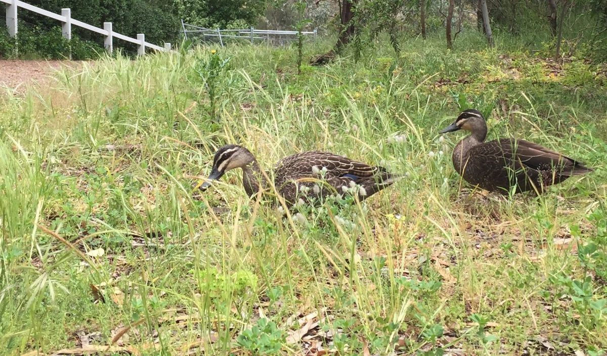
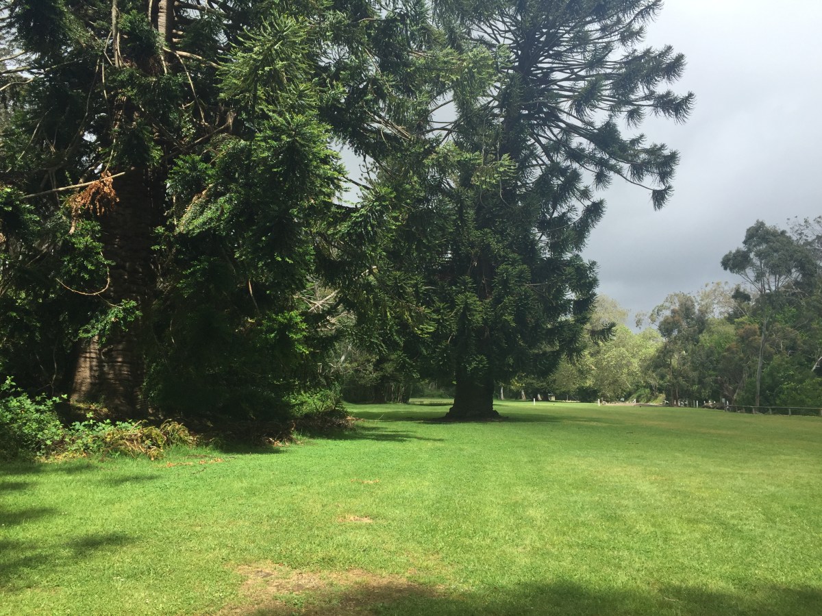
Upper Waterfalls, Belair National Park.
The state’s oldest national park, Belair is also the second dedicated national park in Australia.
In 1840, the land was set aside by Governor George Gawler as a government farm. It was later used to farm hay and care for police horses in the gold escort and other services.
Through the early to mid-1900s, approaches to the preservation of native flora and fauna in the park changed so that all future planting in the area would be restricted to native South Australian plants. As a result, the last non-native planting in the park was of 700 Japanese cherry trees. Remains of the plantation can be found in the park along RSL walk.
By 1929, the park had 42 tennis courts. In the years to follow, trees were cleared for a nine-hole golf course to raise additional funds for the park and this was later expanded to 18 holes.
Today, there are many options available for those visiting the park, which has woodlands and lakes, shared-use trails, cricket pitches and tennis courts to hire. You can explore Old Government House, and let the kids go wild on the adventure playground.
Trail: Adventure Loop Trail
Access: About 13km south-east of the Adelaide CBD. The park entrance is off Upper Sturt Road, Belair. There is a vehicle entry fee of $12, payable at the information office. Alternatively, you can pay online before your visit.
Rating: Moderate to challenging – there are sections of challenging inclines, combined with tight single tracks through the valleys.
Length: Approximately a 13km loop.
Time: About three hours at a moderate pace, or more than five hours for those who intend to stop along the way and walk at a slower pace.
Features: After paying our fees at the information office, we made our way along Queens Jubilee Drive and parked in one of the many parks along the left side. Some of these spots may have been hired out for the day, but there will be signs alerting you to this.
Leaving the car we found the narrow walking trail leading to Old Government House. After a brief look over the fence and a couple of photos, we took the marked trail to the left. The Adventure Loop has plenty of trail markings along the way and is colour-coded yellow.
The beginning section is a wide gravel track, going past the State Flora Nursery on the left. This will take you on a slow ascent before reaching a peak with beautiful views across the city.
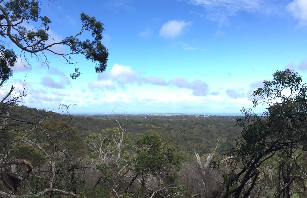
Views over the city. Photo: Jodie Vidakovic.
Continuing onwards, we took a trail link meeting up with Waterfall Hike loop. At the T-junction turn right, continuing on the Waterfall Hike to make your way to the Upper Waterfall.
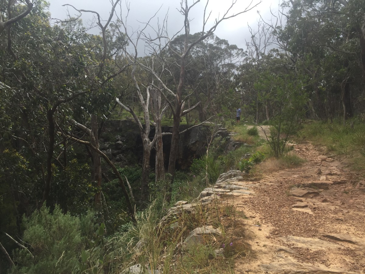
The trails through here offer open views through the valley to your left and wooded forest and wildflowers to your right. It really is a pretty section of track.
There hadn’t been much rainfall when we went, so the waterfall didn’t have much of a flow. We still took the opportunity to traverse down the hillside to get a closer look. Be extremely careful, as it is steep and unstable.
Beyond the Upper Waterfall, go left and the trail turns into the Adventure Loop.
Continuing on for about 1km, it veers around to the right meeting Saddle Hill Road. Cross the road to continue on the trail.
Just off the track to the left, the familiar besser blocks caught my eye. My walking partner was ahead of me and had already made the challenging jog to the top. Not to be left behind I made my way up, which was quickly followed by heavy breathing and the urge to be sick. Luckily this quickly passed. This isn’t part of the Adventure Loop, so only head up the hill if you feel like an extra challenge.
Besser blocks. Photo: Jodie Vidakovic
Making our way back down the besser blocks, and onto the loop we soon stumbled across a sequoia plantation. This incredibly peaceful and tranquil place is a fitting World War II memorial, dedicated to Australian and American allied forces. Unveiled in 2008, the trees are overwhelming in size and a beautiful spot to catch your breath.
Continuing on, the track meets up with Cherry Plantation Road. Turn left, following the sealed road. After about 1km you will come to the park boundary; turn right on the trail and continue until you come to Kari Track on the right and then the trail link on your left to Melville Gully Road. We took the Melville Gully Road option so we could see Amphitheatre Rock and parts of the other smaller trail loops; otherwise, stay on Adventure Loop Trail taking you around the boundary of the park.
Amphitheatre Rock is easy to miss. There is a sign – behind some bushes. You will need to cross a field, and the day we went it was more of a swamp with no trail in sight.
I wasn’t overly impressed when we did finally get to the rock. But maybe that was because I fell over on the rocks and dirt in the process.
Make your way back to the sealed road to continue on. This wide road will take you past the many picnic areas and pavilions, a great place to spend the day with family.
We left the sealed road at the Heritage Tree Walk/Valley Loop Hike. This easy trail is cool and shady, taking you past many tree species including oak, pine, and sequoia trees. These were planted in the late 1800s.
Following the Valley Loop, signs will take you past the dam.
At the Adventure Playground, we turned right, past Old Government House and back to the car.
Tips: If you’re looking for a spot to relax and refuel post-walk, I highly recommend Sheoak Café on Sheoak Road. Make sure you try its baked beans.
Download the Avenza PDF Map app so you can access interactive maps when you need them. The app allows you to download National Parks SA maps and uses your device’s built-in GPS to plot your real-time location within the park onto a map. You can also download your Belair National Park map here, and keep up to date with latest park alerts.
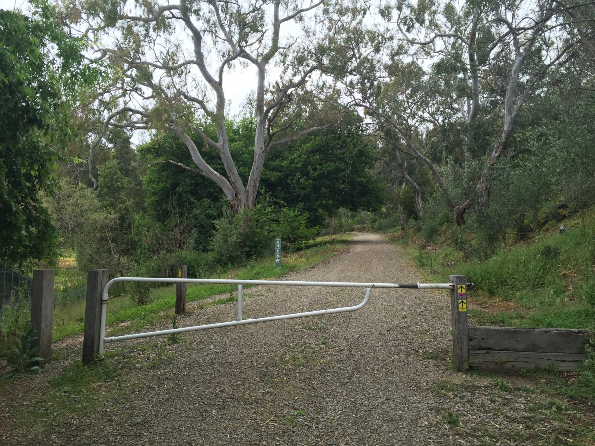
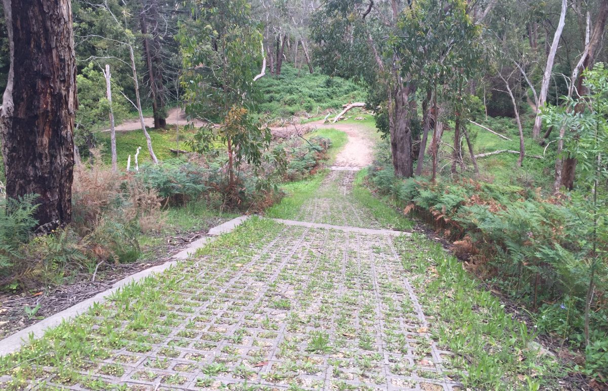
Start of the Adventure Loop near Old Government House. Photo: Jodie Vidakovic
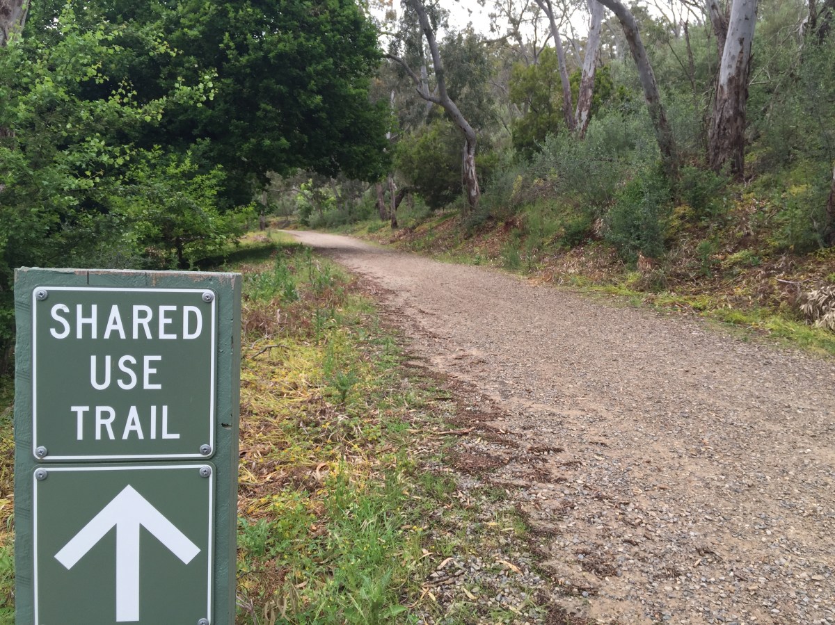
Shared-use trails. Photo: Jodie Vidakovic
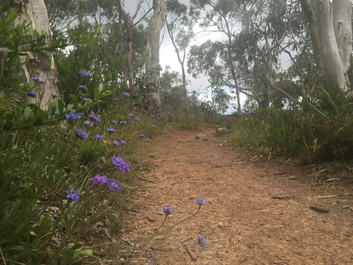
Trails and wildflowers. Photo: Jodie Vidakovic
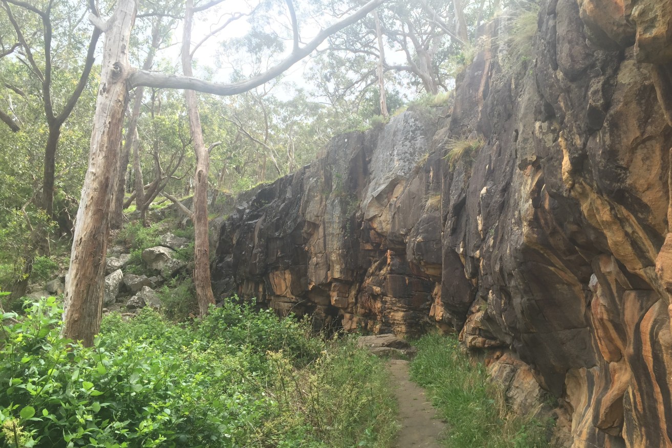
Trails leading to upper falls. Photo: Jodie Vidakovic
Upper Waterfall. Photo: Jodie Vidakovic
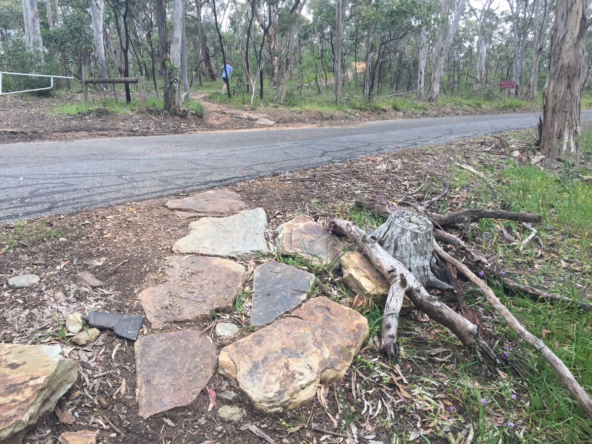
Crossing Saddle Hill Road. Photo: Jodie Vidakovic
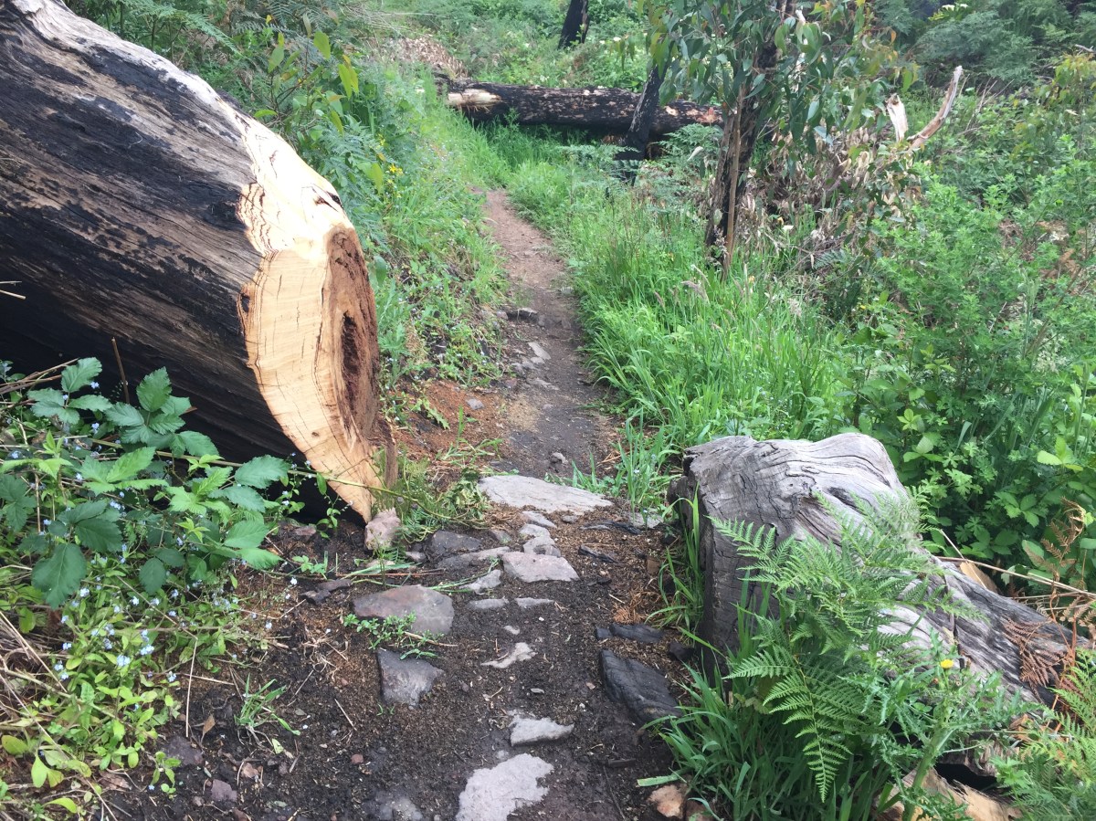
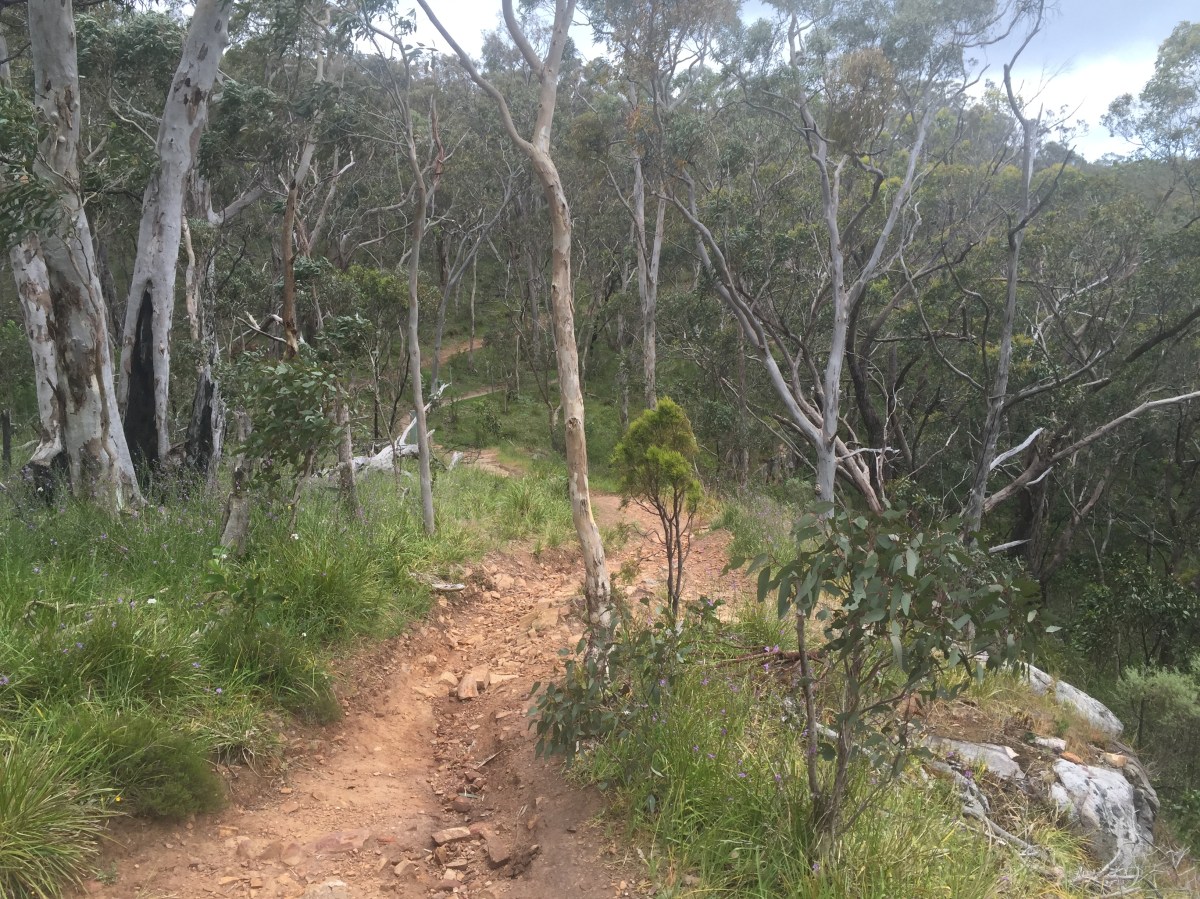
Narrow trails. Photo: Jodie Vidakovic
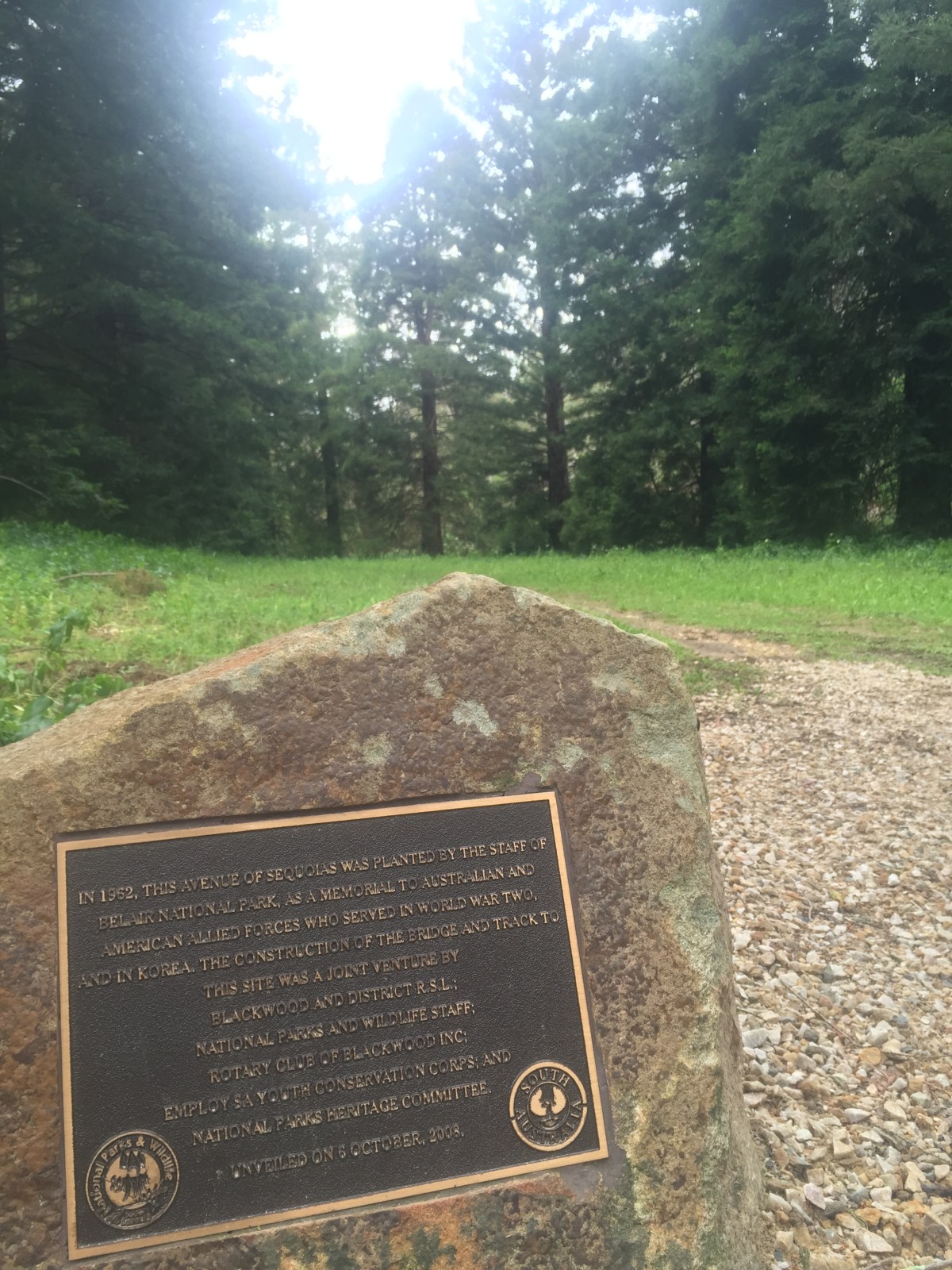
Sequoia plantation – World War II Memorial. Photo: Jodie Vidakovic
Picnic areas. Photo: Jodie Vidakovic