Adelaide walking trails: Cobbler Creek Recreation Park
Upgrades to Cobbler Creek Recreation Park, in Adelaide’s northern suburbs, have created an excellent space with walking and biking trails for all levels of experience and a new nature playground.

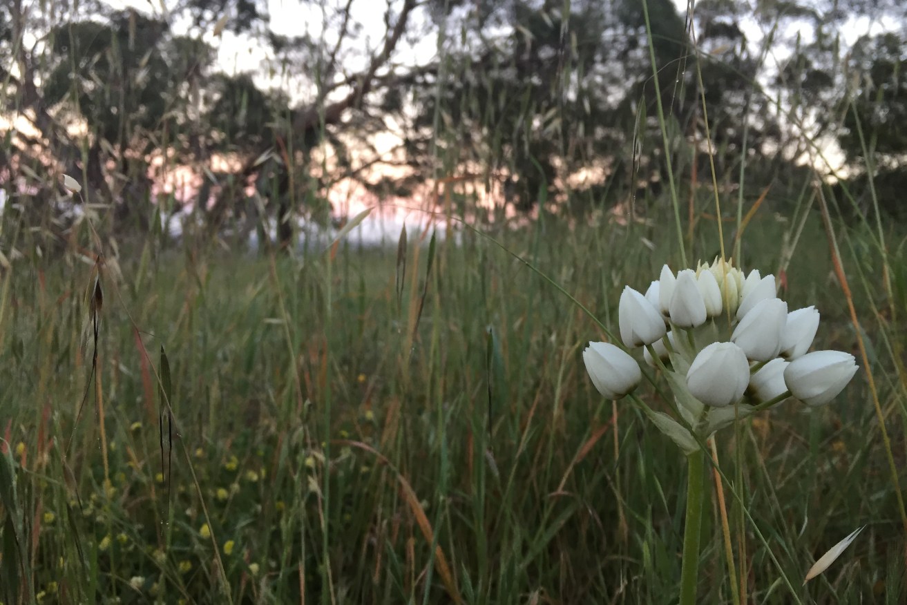
Wildflowers at sunrise, Cobbler Creek.
Cobbler Creek was named after William Pedler, a shoemaker (cobbler) by trade who farmed the land in the late 1800s. The historic ruins of the Pedler family home, Trevalsa, can be seen on the Porosa Hike loop. The land was proclaimed as a national park in 1982.
The new Kites and Kestrels themed adventure play space, along with Pedlers Paddock, is a haven for families with kids of all ages. Completed last month, the $1 million upgrade of visitor facilities includes improvements to the shared-use trail network, more picnic and sheltered areas, increased parking, and new toilets and drinking fountains.
Pedlers Paddock is a great addition to the park, located near the adventure play space. It is designed for bike riders of all skill levels and ages, offering a beginners’ zone, intermediate trails and advanced trails.
All these facilities are near each other, making it easy for families to spend hours or even a whole day there.
Walking through the park, the trail routes often feel like a multiple-choice question, with the answer always being d) all of the above. The designated trails and connector tracks are clearly marked on the map and if you take a slightly wrong turn, you seem to loop back onto the trails one way or another.
Many of these shorter trails, including the Babbler Loop, are great for those looking for a quick walk to kickstart their day before work.
Trail: Babbler Loop
Access: 19km north of the Adelaide, between Salisbury and Golden Grove. Main entry at the end of Smith Road, with ample off-street parking.
Rating: Easy to moderate. I found this trail quite easy-going in a clockwise direction. If you are looking for more of a challenge, go in an anti-clockwise direction to get your heart pumping on the first 500m incline.
Features: Beginning the walk from Smith Road, enter through the carpark and continue on the road through to the new carpark. At the first signpost you come to, colour-coded green for Babblers Loop, decide whether you want to go clockwise or anti-clockwise.
Staying on this trail, you will come to the Kelway Park precinct. This old farmhouse was adapted as offices and fenced off to accommodate sheds and workshops for maintenance. Veer right around this area.
Here is where the climb begins on the wide grassy tracks, and continues upwards for about 500m to 600m.
At its peak, the trail plateaus and narrows. You will come across many connecting trails on your right which you can take to extend your walk, as they end up looping back to the Babbler trail.
The trail eventually meets up with The Grove Way, veering to the left to begin the descent back to the start. Here you can take in the views over Salisbury and out to Gulf St Vincent.
With The Grove Way on your right, continue for about 600m, where you will come to a fork in the path. Here you can take the right trail to slightly extend your walk on the ‘Short and Sweet’ trail; alternatively, take the left trail to wind down the hill. Although the ‘Short and Sweet’ section is a shared-use trail, it’s probably best for bike riders.
The descent doesn’t take long before turning left to complete the loop and heading back to the carpark.
Length: About a 3.5km loop.
Time: About 1 hour at a moderate pace.
Tip: Always familiarise yourself with a map before starting your hike. Download the Avenza PDF Map app so you can access interactive maps when you need them. The app allows you to download National Parks SA maps and uses your device’s built-in GPS to plot your real-time location within the park onto a map. You can also download Cobbler Creek Conservation Park maps here, and keep up to date with latest park alerts.
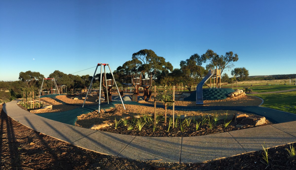
Kites and Kestrels Adventure Playground, Cobbler Creek. Photo: Jodie Vidakovic
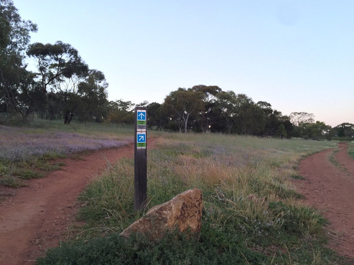
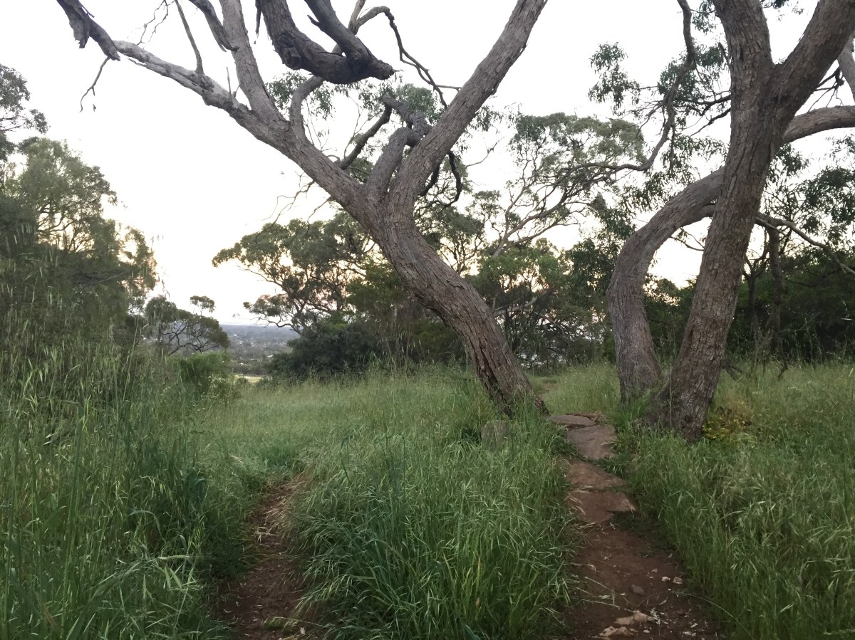
Babbler Loop, Cobbler Creek. Photo: Jodie Vidakovic
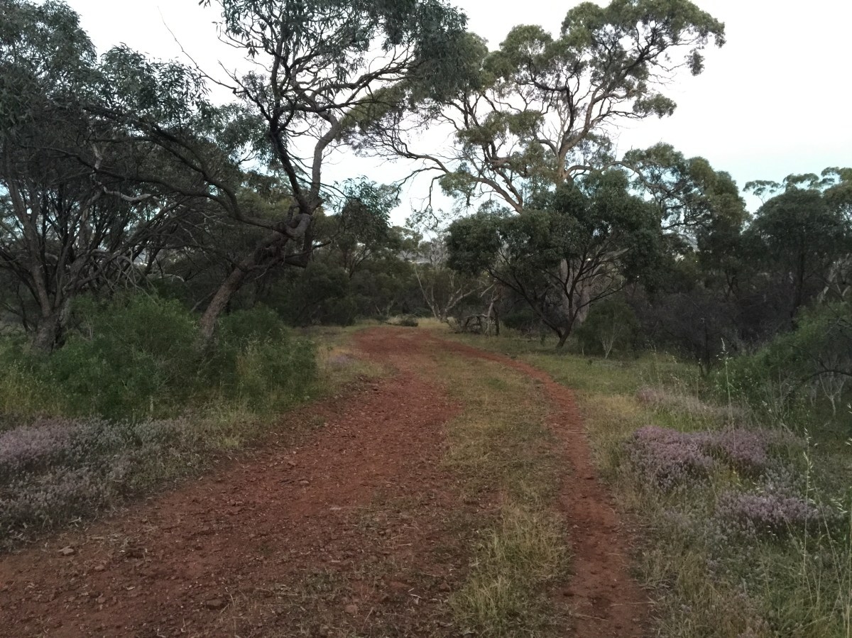
Wide open trails, Cobbler Creek. Photo: Jodie Vidakovic
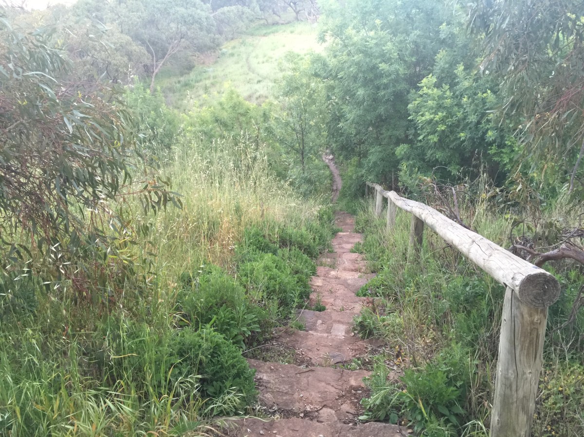
Shared-use trails, Cobbler Creek. Photo: Jodie Vidakovic
Babbler Loop, Cobbler Creek. Photo: Jodie Vidakovic
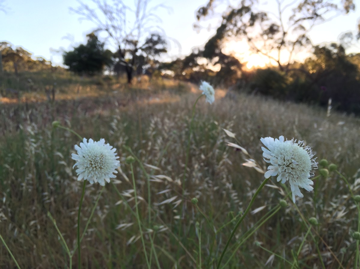
Wildflowers at sunrise, Cobbler Creek. Photo: Jodie Vidakovic