SA crops go from awesome to average after scorcher

One bad weather combination and SA's fragile crops turn from bumper to butchered.
What a difference a few days make.
At the start of last week, South Australia’s fields were brimming with row after row of podding plants which were shaping up to produce a healthy yield for growers.
By the end of the Labor Day weekend, the damage had been done.
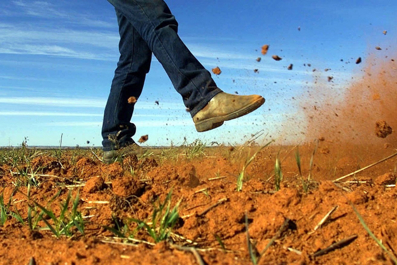
One of the hottest starts to October on record had scorched SA fields and turned lush green bumper crops into singed shadows of their former selves.
Already in need of good spring rains, particularly in the east and south-east of the state, agricultural bodies are taking stock of the damage caused by the record temperatures on grain-growing regions.
“It will cost us,” Primary Producers SA independent chair Rob Kerin told InDaily of the heatwave’s impact.
“We were looking at good crops.”
Grain Producers SA chairman Garry Hansen added the combination of hot winds, heat after frosts had taken its toll on crops.
“I think the state at this stage will be a close to average crop – but we were looking at a bit above average – providing we don’t have more of that severe weather.”
The damage came as Australia’s east coast sweltered through a three-day hot spell with the mercury in Adelaide peaking at 35.6 degrees, our hottest October day in 70 years.
In last month’s SA crops and pastures condition report, the Department in Primary Industries had estimated good August rains would see grain crop estimates increase to an above average 7.6 million tonnes or worth $2 billion at the farm gate.
As the heatwave hit fields, canola, pulse and field pea crops were well into their pod stage.
The report stated July rainfall ranged from below average on Western Eyre Peninsula, Lower Eyre Peninsula and parts of the Yorke Peninsula, Mid North and South East to above average in the south western part of the Upper North.
August rainfall was highly variable across the state, ranging from “very much below average” in parts of the South East and Southern Mallee to above average in parts of Eastern and Western Eyre Peninsula.
Rainfall was well above average in the southern part of the North East Pastoral district.
However, rainfall for the past 12 months remains well below average for the South East, Southern Mallee, Fleurieu Peninsula and Southern Yorke Peninsula.
Temperatures for July and August were below average on the Eyre Peninsula, Upper North and South East (July only) districts and average in most other agricultural districts.